
|
||
|
Swaledale Walk 2 - Old Gang Beck
Total Distance: 5.8 miles / 9.4 km
Total Ascent: 835 ft / 255m
Approx Time: 3 – 3.5 hrs
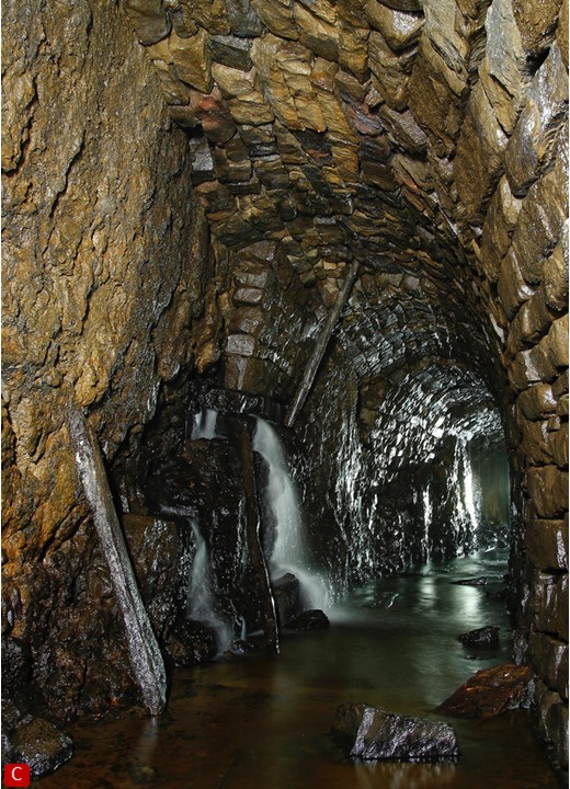
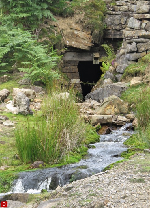
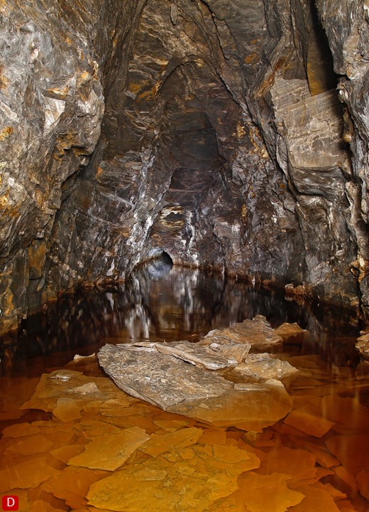
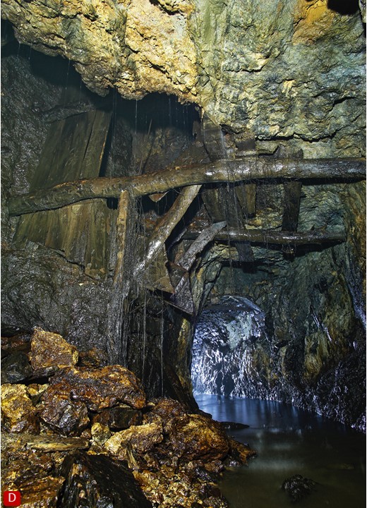
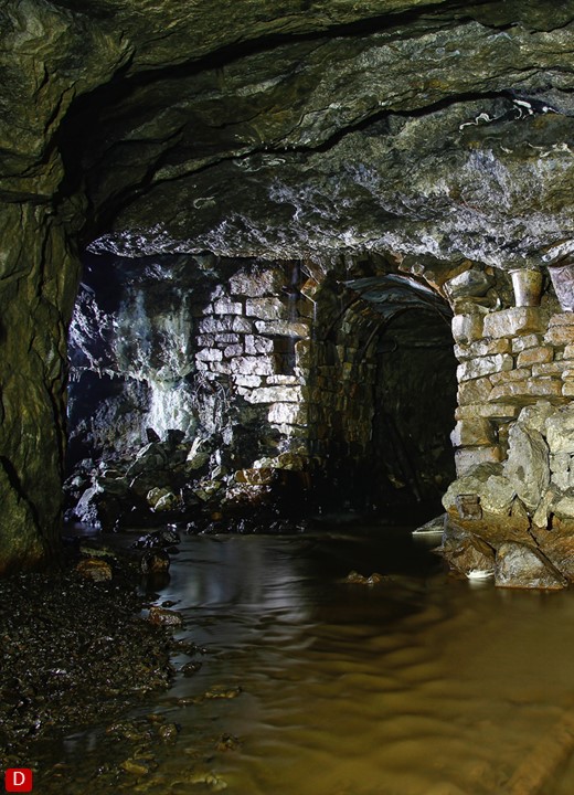
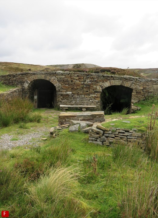
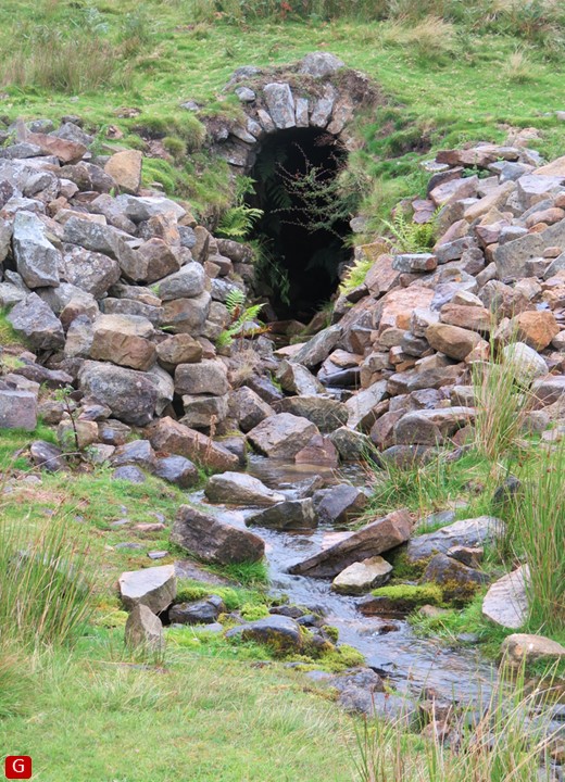
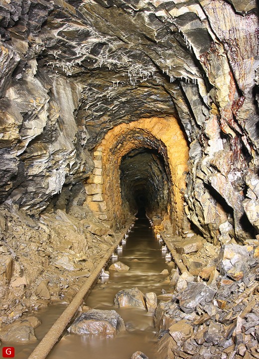
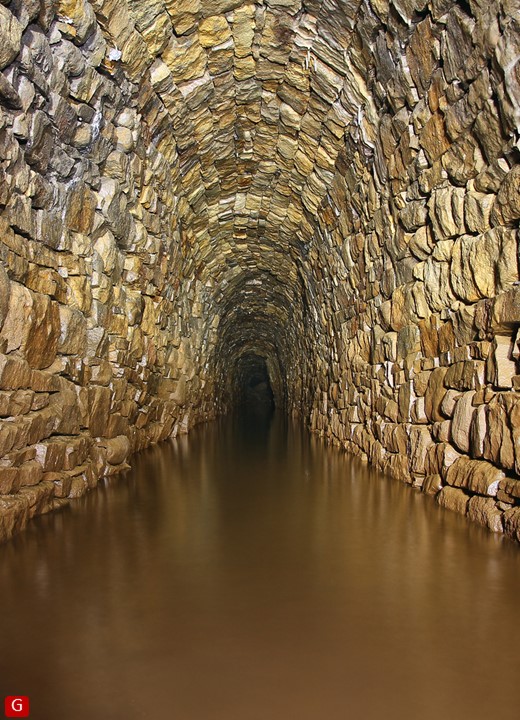
Grade: Easy/Moderate Dripping with mining history and evoking an intense remoteness, this walk leads gently up alongside Old Gang Beck past many points of natural and historic interest to reach the stark moonscape of Great Pinseat. The return journey offers sweeping views down to and beyond Swaledale. Pick a day with light winds.
Start
Parking area just south of Surrender Bridge on minor road from Low Row to Langthwaite at junction with road to Reeth/Healaugh. Grid Reference: SD 98931 99834
Refreshments
Pubs in Low Row and Langthwaite 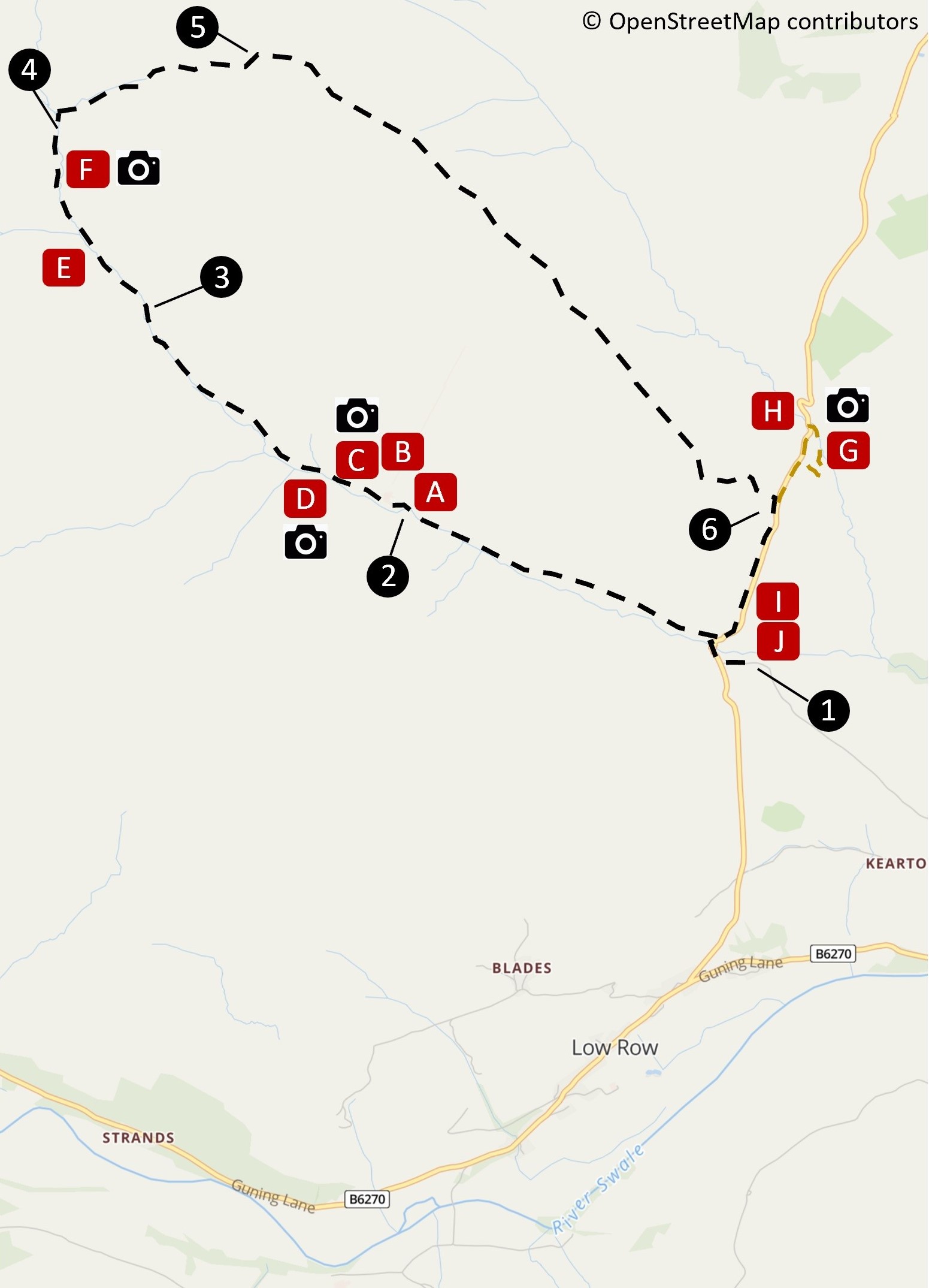
Steps
Extension (0.6 miles / 0.9 km)
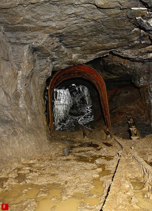
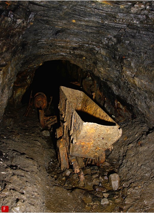
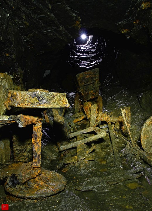
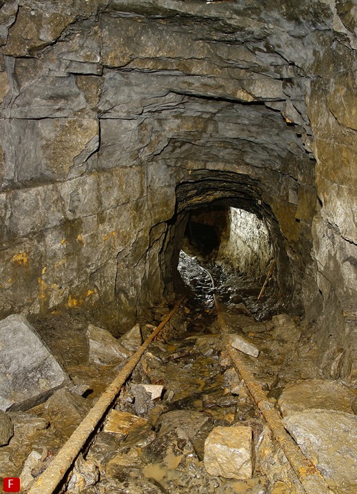
You can get close up to a lead mining wagon and rail (see pictures below) as used in these mines at Swaledale Museum
which also has informative displays on lead mining, hushing and local geology.
The museum’s book shop stocks publications on Swaledale lead mining. For another perspective, enjoy an aerial fly-past of Surrender Smelting Mill using our specially commissioned drone video at https://www.youtube.com/watch?v=Mtpj9lKmWHI
Points of Interest 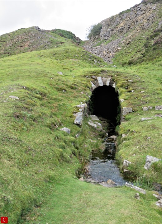
Credits
Further Reading
1: available from Museum bookshop. 2: available via our online shop. 3: available in our Library - contact us to arrange viewing.
|
SOCIAL |
©2019 - Swaledale Museum, The Green, Reeth, North Yorkshire, DL11 6TX. 01748 884118